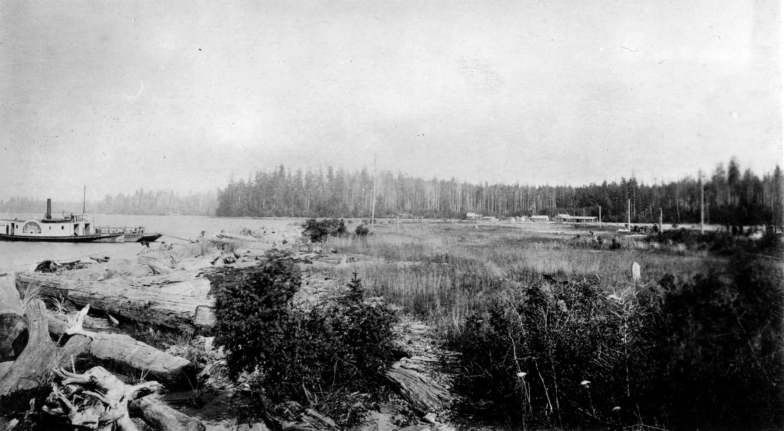
The Site
The cultural significance of ʔəy҆alməxʷ/Iy҆álmexw
When we think of the area we call ʔəy҆alməxʷ/Iy҆álmexw (now called Jericho), it reminds us of our deep connections to these territories, our relations, and our responsibilities to both. These places are essential reminders of who we are and where we come from.
For thousands of years, these have been the lands and waters on which we have resided, worked, and followed our cultural customs. These territories offered our ancestors a life of abundance with smelt, coho and chum from the creeks and sea, and deer and elk from the uplands. It was a place to gather materials for homes and our families. Today, these lands offer us, the descendants of those original peoples, a new form of abundance.
ʔəy҆alməxʷ/Iy҆álmexw was connected to other villages and campsites by a network of trails radiating across our territories. In our oral history, it was from there that an ancestor to many Musqueam, Squamish, and Tsleil-Waututh families named qiyəplenəxʷ/Ḵiyapelánexw was one of the warriors who gathered to defend against northern people who would raid our various communities. It was also a site of many large communal cedar plank longhouses that measured hundreds of feet in length, including one owned by Shenáwtsut (Jericho Charlie). Here, thousands of guests from the Fraser Valley, Vancouver Island, up the coast, and Puget Sound would be hosted at gatherings organized by the residents of ʔəy҆alməxʷ/Iy҆álmexw.
ʔəy҆alməxʷ is the place name in the hən̓q̓əmin̓əm language spoken by the Musqueam and Tsleil-Waututh peoples.
Iy҆álmexw is the place name in the Sḵwx̱wú7mesh language spoken by the Squamish people.
Location
ʔəy҆alməxʷ/Iy҆álmexw/Jericho Lands is a 90-acre site in Vancouver’s West Point Grey neighbourhood. The site is bound by West 4th Avenue to the north, Highbury Street to the east, West 8th Avenue to the south and Trimble Park to the west.